44 new airports across the United States and Europe
Flight Path Noise now covers 173 airports in 53 countries, with 14 new US airports and 30 in Europe, each with a local guide and a curfew answer.
On this page
Today we’re adding 44 airports to Flight Path Noise, 14 in the United States and 30 in Europe. It is the largest expansion we’ve made in a single day, and it brings the site to 173 airports in 53 countries. Every new page has a live map, a noise heatmap and address search from the start, along with a written guide to the local neighbourhoods and a clear answer on whether the airport has a night curfew.
Fourteen US airports picked for their noise stories
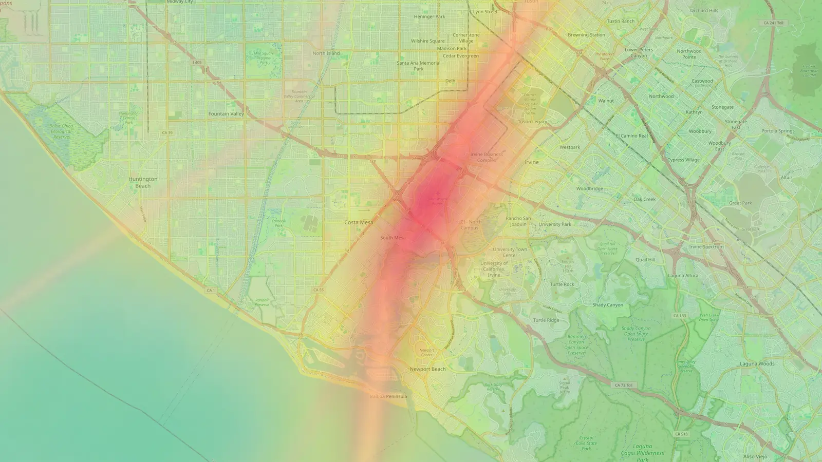
Some of the US airports were chosen because noise is a long-running local issue. John Wayne in Orange County has a mandatory curfew, with no commercial departures from 10 PM to 7 AM, and its steep departures pass over Newport Beach. Long Beach has a city-enforced curfew that keeps airline flights between 7 AM and 10 PM. At Van Nuys the answer is partial, because louder aircraft can’t take off overnight but landings are never restricted.
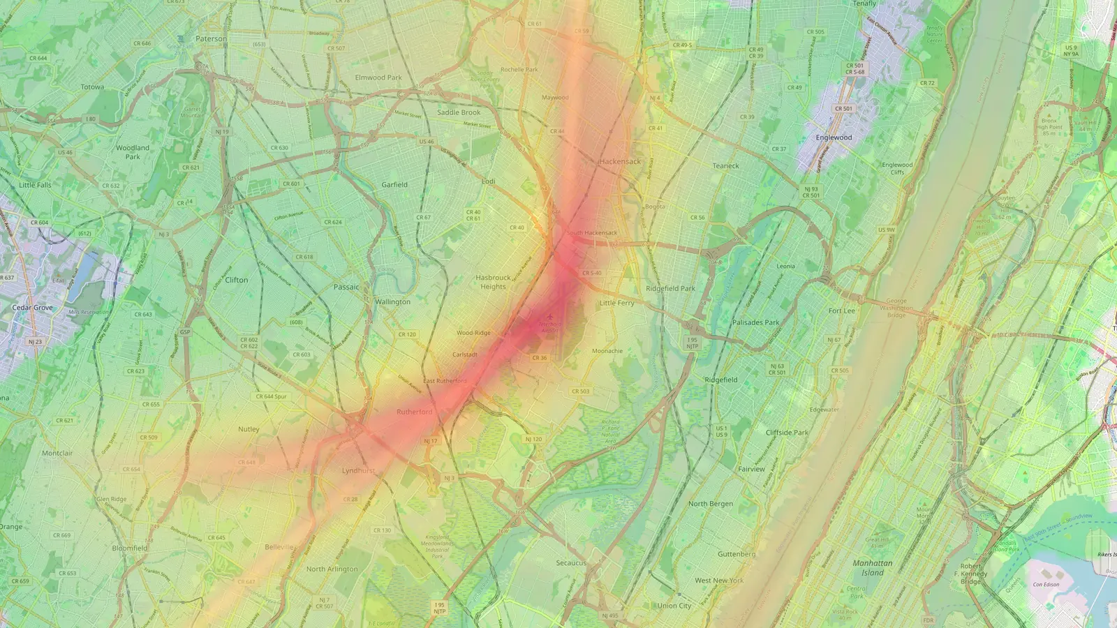
Two airports are here because night is their busiest time. Memphis is the FedEx superhub, and Louisville is home to UPS Worldport, so overnight freighters dominate the late hours at both. Teterboro in New Jersey brings low business-jet traffic over Moonachie, Hasbrouck Heights and Hackensack, with only a voluntary night restraint.
The rest fill gaps in big metro areas: Dallas Fort Worth alongside Dallas Love Field, Houston Intercontinental alongside Houston Hobby, Minneapolis, Philadelphia, Baltimore, St. Louis, Detroit and Orlando.
Of the 14, two have a curfew, one has partial night restrictions and eleven have none.
Thirty European airports, from Gatwick to Kraków
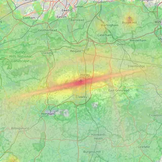
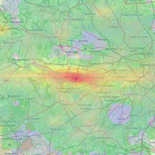
London now has five airports on the site. Gatwick, Stansted and Luton join Heathrow and London City. None of the three has a full ban, but all run under a mandatory night quota from 11:30 PM to 6 AM, so their answers are partial.
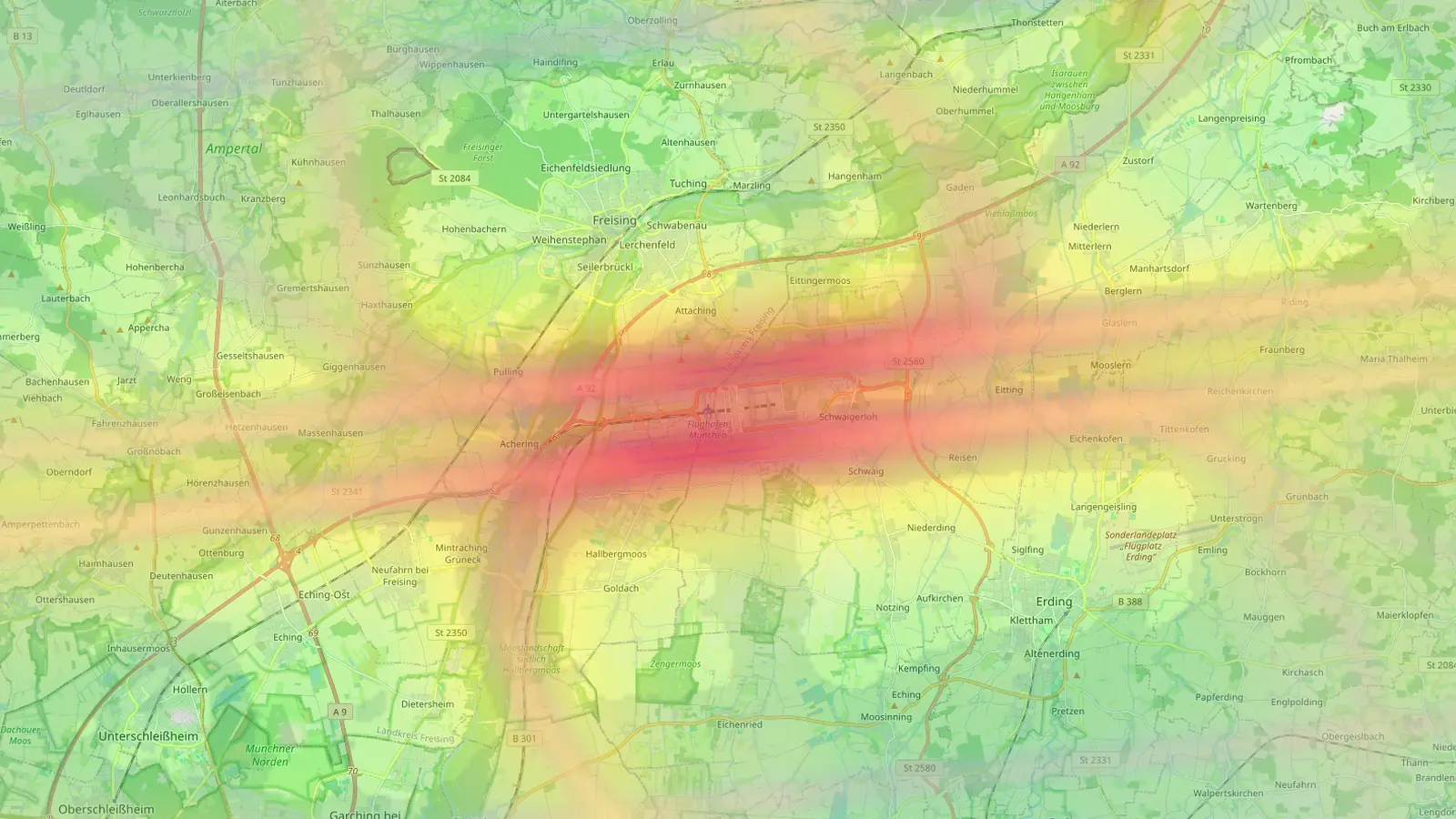
Several of the new airports have strict night rules. Belfast City can only operate between 6:30 AM and 9:30 PM. Munich and Stuttgart have night bans, Rome Ciampino closes from 11 PM to 6 AM and caps daily flights, and Eindhoven and Charleroi also have curfews. Cologne Bonn is the opposite case, with full 24-hour night-flight rights.
We’ve also added the main hubs that were missing: Rome Fiumicino, Milan Malpensa and Milan Bergamo, Stockholm Arlanda, Keflavík, Lyon, Marseille, Toulouse, Venice, Alicante, Kraków, Basel, Bilbao and, in the UK, Birmingham, Bristol, Leeds Bradford and Glasgow.
Norway, Finland and Greece appear on the site for the first time. Oslo has a binding night regime from 10:30 PM to 6:30 AM. Helsinki is open 24 hours and uses night noise charges instead of a curfew. Athens also runs around the clock, with night rules that change runway use to protect the closest towns.
Across the 30 European airports, six have a curfew, 15 have partial restrictions and nine have none.
Finding an airport on the homepage
With 173 airports the homepage list needed to be easier to scan. The directory now has region tabs for Europe, North America, Asia, Oceania, South America, the Middle East and Africa, so you can narrow the list in one click. Each card shows the country flag, city and country, and cards are sorted alphabetically by city.
On the homepage, the airport search has moved out of the menu bar and into the main header area, just under the introduction. Airport pages keep it in the menu bar. Start typing a city or airport name and pick it from the suggestions.
Why the maps start light
Each airport’s heatmap and flight-path density layers are built from the flights we record once it’s added. For the first few days the maps show only a short history, and they fill in as more flights are recorded. The live map shows aircraft from the start, and you can drop a pin on any address straight away, keeping in mind that early pin reports cover only the days recorded so far.
Frequently asked questions
- Do the new airports have the same features as existing ones?
- Yes. Each new airport has a live map, a noise heatmap, a flight-path density layer, address search and a pin report, plus a written guide to its neighbourhoods and a curfew answer near the top of the page.
- Why do the maps for new airports look thin at first?
- Each map builds up from the flights we record after the airport is added, so the heatmap and density layers fill in over the first days and weeks.
Airports mentioned
Related updates
Gatwick area pages, nearby airports on the map, and postcodes
Our first UK area pages cover 29 places around Gatwick, airport maps now show nearby airports, and suburb tables can be filtered by postcode.
Heathrow, LAX, JFK, O'Hare, CDG and 11 more major hubs
16 of the world's major hub airports join Flight Path Noise, and the main airport now takes the city's address for London, Toronto and Paris.
Nine more Australian airports, from Gold Coast to Jandakot
Nine Australian airports with well-known local noise debates, from new runways and flight paths to round-the-clock operations and training circuits.