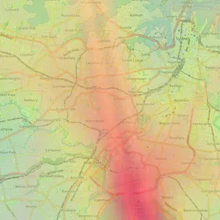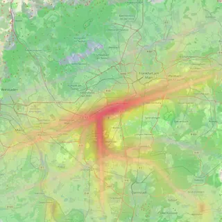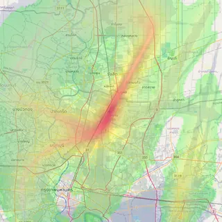
Gatwick area pages, nearby airports on the map, and postcodes
Our first UK area pages cover 29 places around Gatwick, airport maps now show nearby airports, and suburb tables can be filtered by postcode.
On this page
We’re launching our first area noise pages outside Australia today, around Gatwick. Alongside them, airport maps now show the noise from other airports nearby, suburb pages show postcodes, and a new methodology page explains how the numbers are made.
29 area pages around Gatwick
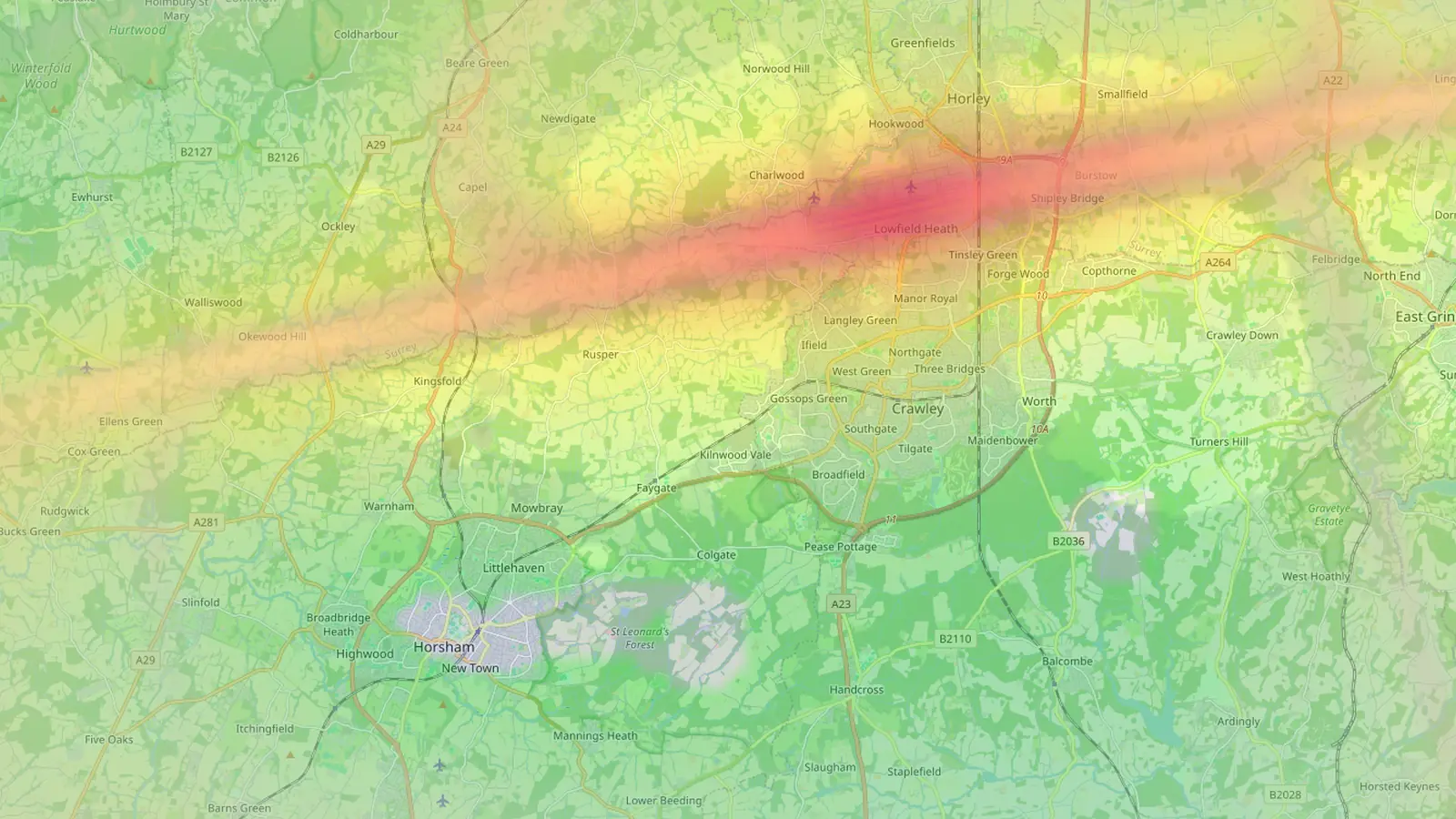
The region page at /united-kingdom/gatwick/ lists 29 towns and villages around Gatwick, ranked by how many aircraft pass over them on a typical day. Each one has its own page, with the same layout as our Australian suburb pages: a map of the area over the noise heatmap, a verdict, overflight counts and heights, an hourly pattern and a breakdown of where the traffic comes from.
The pages use UK wording. They say “area” instead of “suburb”, follow official built-up-area boundaries, and list postcode districts. Horsham, for example, covers RH12 and RH13. Towns at the top of the ranking include Horsham, Southwater, Lingfield and East Grinstead.
The Gatwick pages are built on a shorter history than the Australian ones. They cover flights recorded from mid-July, when Gatwick joined Flight Path Noise, to late August, so they reflect summer traffic only. Overflight figures are modelled from flight tracks, and noise levels are estimates based on aircraft type, height and distance, so the pages work best for comparing one area with another.
Nearby airports now show on every map
Noise doesn’t stop at an airport’s coverage circle, and in many cities two or three airports share the same sky. Airport maps now draw every other airport we track within 50 km. Their noise heatmap and flight-path density layers appear at half strength inside a dashed blue circle, labelled with the airport’s name.
On the Gatwick map you’ll see Heathrow and London City to the north. On the LaGuardia map, JFK, Newark and Teterboro all appear. The nearby layers follow the same heatmap and density switches as the main airport. Clicking inside the main circle still gives you a noise report for that point, and clicking inside a neighbour’s circle opens that airport’s map.
Postcodes on suburb pages, and a filter
Every one of the 267 suburb pages in New South Wales and Victoria now shows its postcode, in the page heading and alongside the suburb name in tables. The suburb tables on region pages and airport pages have a new filter box, so you can type a suburb name or a postcode and jump straight to the row you want.
The address search on airport pages works with a postcode as well as a street address, which is handy when you know the area but not the exact street.
A methodology page and a site footer
The new methodology page sets out how Flight Path Noise works: where the flight data comes from, how noise levels are estimated, how suburb and area statistics are calculated, how often the data updates and the limitations worth knowing about. If you’re relying on a number for a decision, it’s worth a read.
Every page now has a footer with links to all airports, the suburb and area guides, and the methodology page, so you can move between them from anywhere on the site.
Frequently asked questions
- Why are the Gatwick pages called areas, not suburbs?
- The places around Gatwick are towns and villages, so the pages call them areas. Boundaries follow official built-up areas, and each page lists the postcode districts it covers.
- Can I see Heathrow's noise on the Gatwick map?
- Yes. Any airport we track within 50 km appears on the map as a dimmed noise and flight-path layer. On the Gatwick map that includes Heathrow and London City. Click inside one of those circles to open that airport's own map.
Airports and places mentioned
Related updates
Suburb noise pages for Sydney and Melbourne
267 new pages, one per suburb, show how many aircraft pass over Sydney and Melbourne suburbs, how low they fly and which airport they come from.
Does your airport have a curfew? Every airport page now answers
Every airport page on Flight Path Noise now opens with a plain yes, partial or no answer on night curfews, with the hours and a short explanation.
Airport pages now name the loudest neighbourhood
Each airport page now picks out its loudest residential area from flight data, shows the main departure direction and has a map preview card for sharing.