Flight Path Noise launches with nine airports
Free aircraft noise maps for nine airports in eight countries, starting with Chiang Mai, with live aircraft, noise heatmaps and a new globe homepage.
On this page
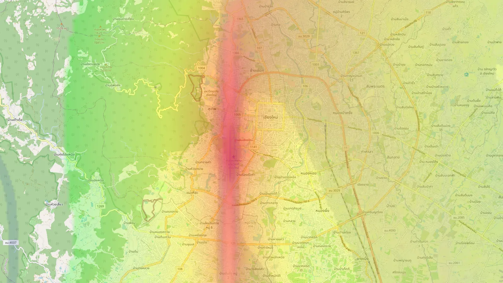
Flight Path Noise started with a single question: how loud is it to live near an airport? Our first map covered Chiang Mai International Airport, built for people deciding where to rent or buy in the city. Today the site takes its name and grows to nine airports in eight countries, with a new homepage to find them from.
Nine airports in eight countries
The airports are:
- Chiang Mai International, Thailand
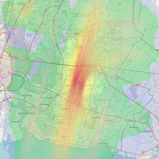
- Suvarnabhumi, Bangkok, Thailand
- Da Nang International, Vietnam
- Taipei Songshan, Taiwan
- Ngurah Rai International, Bali, Indonesia
- Lennart Meri Tallinn, Estonia
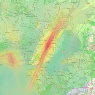
- Humberto Delgado, Lisbon, Portugal
- Valencia, Spain
- Sofia, Bulgaria
Several of these sit close to where people live. In Chiang Mai, the Nimman neighbourhood lies under the northern departure path. Songshan and Lisbon’s airport are both inside their cities, with districts such as Zhongshan in Taipei and Olivais in Lisbon close to the flight paths. That closeness is what makes a noise map useful: two flats a kilometre apart can have very different nights.
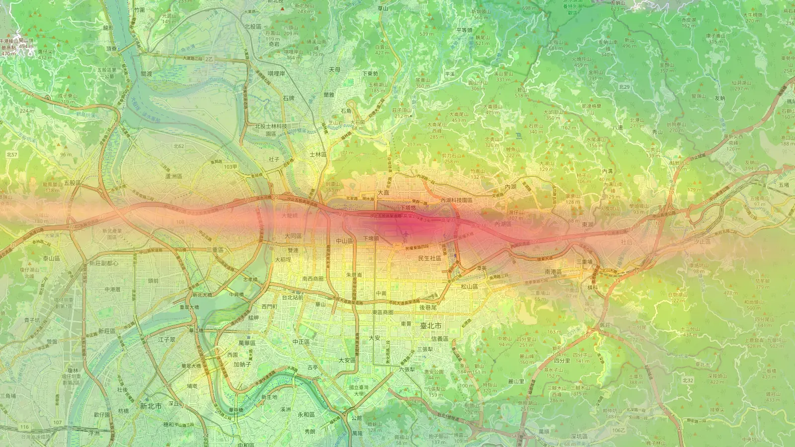
Every airport has its own page at a short address, such as /lisbon/ or /bali/. Tallinn, Lisbon, Valencia and Sofia joined today, so their maps hold only a few hours of history for now. The picture fills in as each day of flights is recorded.
What each airport map shows
Each map opens on the airport with four layers you can switch on and off from the Layers panel in the sidebar.
Live aircraft appear as plane icons that turn to show their heading. Each one trails a dashed line coloured by its height above the airport: red below 500 m, orange up to 1,500 m, yellow up to 3,000 m and blue above that.
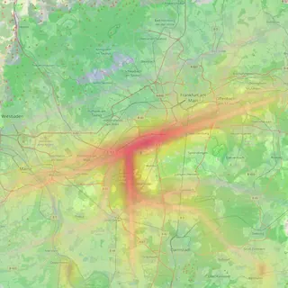
The noise heatmap shades the area by estimated noise exposure from every flight we have recorded. Red areas get the most frequent and loudest overflights, green areas the least.
Route density shows where aircraft fly most often. It is the quickest way to see the approach and departure corridors and how they line up with the runway.
Flight paths draw individual recorded tracks once you zoom in close. Click a track to see the aircraft’s callsign, type, height range and whether it was arriving or departing.
Check a single spot on the map
Click anywhere on the map, such as a street you are thinking of moving to, and a panel opens with a noise report for that point:
- the daily average level (Leq), a standard way of expressing noise exposure over time
- the loudest single overflight recorded nearby
- the average number of flights passing close by each day
- an hourly chart, so you can see whether the noise falls at night or carries on until the early hours
A reference scale in the help panel puts the numbers in context, from a quiet residential street at about 45 dB to a busy road at about 65 dB.
These figures are estimates. We calculate them from recorded flight tracks and each aircraft’s height and type, so they are best used to compare one place with another.
A globe to find your airport
The homepage at flightpathnoise.com is now a slowly rotating globe. Each airport floats above its location as a small round thumbnail of its own heatmap over its flight paths, so you can see the shape of the traffic before you click. Drag to spin it, zoom in a little, and click a thumbnail to open that airport’s map. A plain list of all nine airports sits below the globe for anyone who prefers it.
The whole site follows your device’s light or dark setting, or you can pick one with the theme button.
Flight Path Noise is free to use and needs no sign-up. If you live near one of these airports, or are about to move near one, open its map and click on your street to see how it compares with the streets around it.
Frequently asked questions
- Are the noise levels measured with microphones?
- No. They are estimates calculated from recorded flight tracks and aircraft type. They are a guide for comparing places, not a substitute for a measurement at your door.
- How much area does each map cover?
- Each map covers a circle around the airport. Chiang Mai, Da Nang and Taipei Songshan cover 20 km; the other six airports cover 25 km.
- Does it cost anything?
- No. The maps are free to use and need no account.
Airports mentioned
Related updates
Search an address, save pins, share them and compare places
Type an address to check its noise, keep it as a saved pin, send your pins to someone by link, and compare saved places side by side.
Every airport page now has a noise guide
Below the map, each of our nine airport pages now has a stats dashboard, a 24-hour flight chart and a written guide to the neighbourhoods around it.
Does your airport have a curfew? Every airport page now answers
Every airport page on Flight Path Noise now opens with a plain yes, partial or no answer on night curfews, with the hours and a short explanation.