61 airports: Sydney, Melbourne and 49 more cities
Flight Path Noise now covers 61 airports in 34 countries, including our first Australian airports and 50 cities where the airport sits close to home.
On this page
Flight Path Noise grew from 9 airports to 61 this week, in 34 countries. It is our largest expansion so far, and it brings our first airports in Australia.
Our first Australian airports
Yesterday we added two Melbourne airports that sound very different from each other. Moorabbin, in the south-east suburbs, is the busiest general aviation airfield in Australia, and most of its traffic is flight-school aircraft flying repeated training circuits over Mentone, Cheltenham, Heatherton and Dingley Village. The noise is lower than a jet’s but it comes round again and again. Melbourne Airport (Tullamarine) is the opposite: a large jet airport that operates 24 hours a day with no curfew, with Keilor, Tullamarine, Gladstone Park and Westmeadows near its main runway corridors.
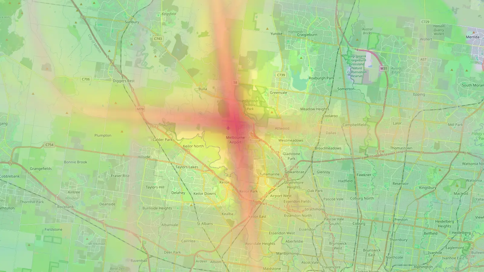
Many light aircraft do not broadcast their position, so at an airfield like Moorabbin the map will show fewer flights than really fly. The shape of the circuits is right, but treat the counts as a floor.
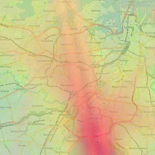
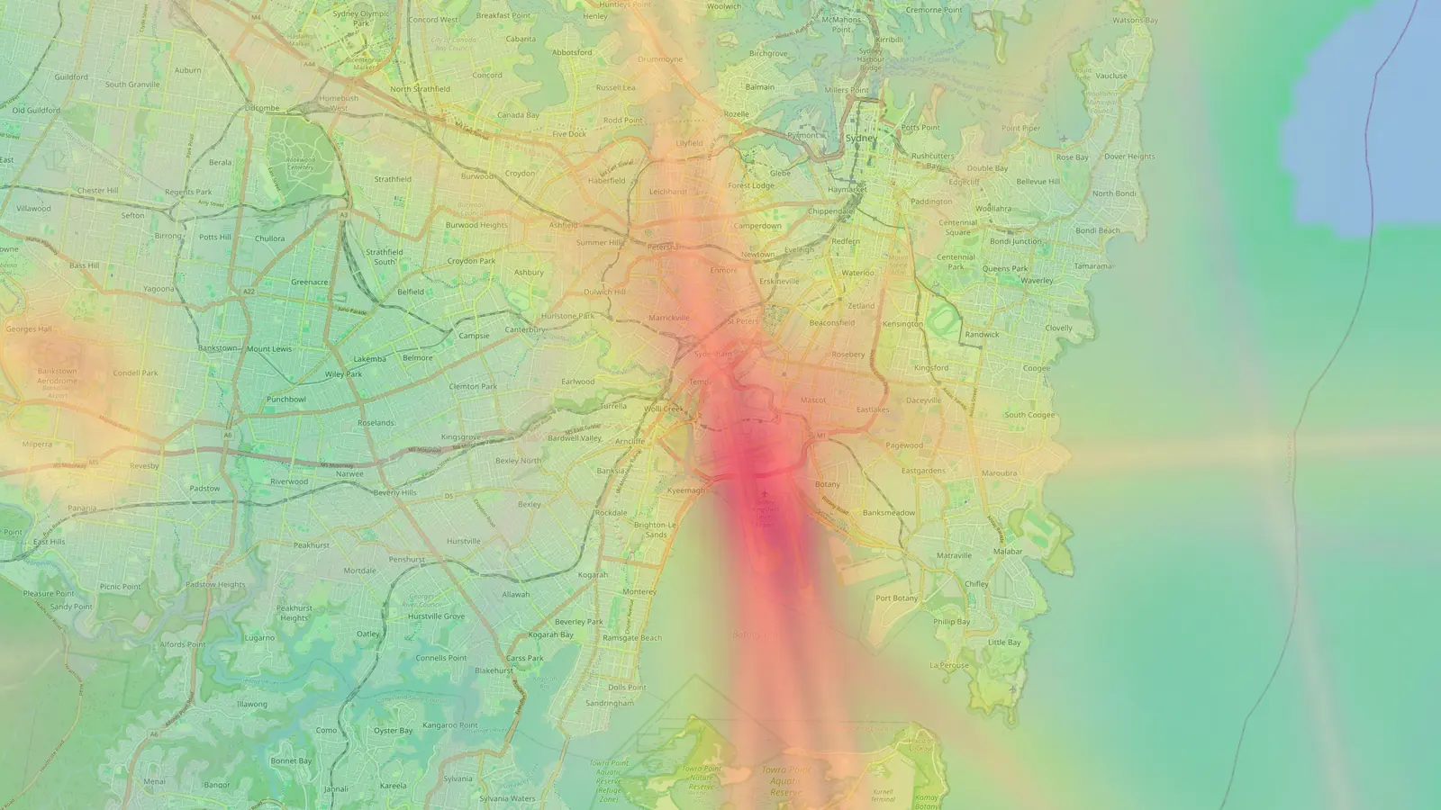
Today Sydney Kingsford Smith joins them. The airport sits on Botany Bay about 9 km south of the CBD, and suburbs such as Mascot, Botany, Marrickville, Newtown and Tempe lie under its approach and departure paths. Adelaide is also in today’s group.
How we chose the other 49 cities
We looked for cities where the airport is close to where people actually live, so that a noise map answers a real question for a lot of households.
That means some cities are covered by their close-in airport rather than the main hub. Toronto is Billy Bishop Toronto City on the waterfront, Stockholm is Bromma, Milan is Linate, São Paulo is Congonhas, Rio is Santos Dumont, Buenos Aires is Aeroparque Jorge Newbery, Tokyo is Haneda and Reykjavík is the domestic airport in town.
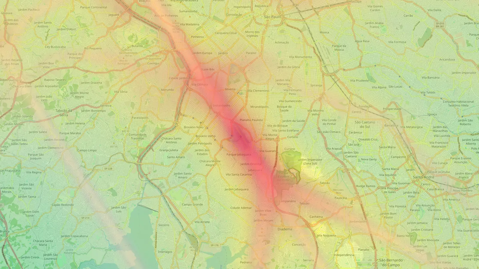
The full list, by region:
- North America: San Diego, Washington Reagan National, Phoenix Sky Harbor, Boston Logan, Honolulu, Las Vegas, Austin, Vancouver, Billy Bishop Toronto City, Mexico City and Tijuana
- South America: Rio de Janeiro, Buenos Aires, São Paulo, Bogotá, Cartagena and Cusco
- Europe: Reykjavík, Dublin, Amsterdam Schiphol, Hamburg, Düsseldorf, Copenhagen, Stockholm Bromma, Warsaw, Geneva, Nice, Milan Linate, Pisa, Florence, Naples, Madrid, Barcelona, Seville, Málaga, Palma, Ibiza, Porto, Faro and Funchal, Madeira
- Africa and the Middle East: Marrakech and Beirut
- Asia: Tokyo Haneda, Manila, Mumbai, Penang and Tbilisi
- Australia and New Zealand: Sydney, Adelaide and Wellington
Every page has its guide from the start
Each new airport page has the same written guide as our original nine: the neighbourhoods near the flight paths, how the runways are used, when traffic is busiest and quietest, common questions and sources. The dashboard of flight counts and busy hours sits alongside it and fills in as data builds up.
Smoother live aircraft, with icons by type
Two changes to the live layer apply at every airport. Aircraft used to hold still between position updates and then jump ahead. They now move smoothly between updates. Their trails still show only positions we actually recorded.
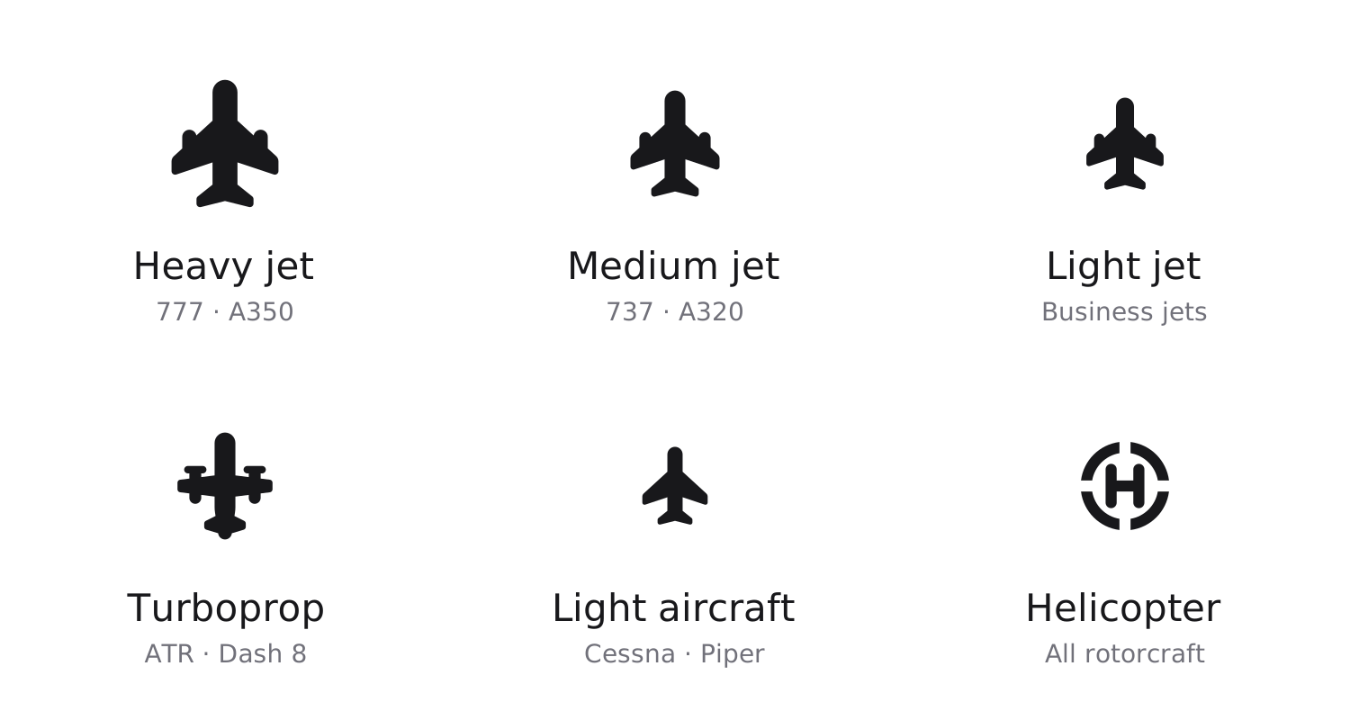
Each aircraft also has an icon that matches what it is. Jets come in three sizes, so a widebody looks bigger than a business jet, turboprops and helicopters have their own shapes, and light aircraft show as a small plane. You can tell at a glance whether the noise overhead is likely to be a heavy jet or a small propeller aircraft.
Frequently asked questions
- Why these airports and not the biggest ones?
- Aircraft noise matters most where an airport is close to homes. We started with airports close to the city, so in several cities we cover the close-in airport rather than the main international hub.
- Why does a new airport's map look thin?
- Each map is built from the flights we have recorded since the airport was added. Airports added today have hours of history rather than weeks, so their heatmaps and stats fill in over the coming days.
Airports mentioned
Related updates
A calibrated noise model, checked against real noise monitors
Our noise levels are now calibrated against official airport noise-monitoring data, and flight tracks are smoothed so turns are drawn properly.
Does your airport have a curfew? Every airport page now answers
Every airport page on Flight Path Noise now opens with a plain yes, partial or no answer on night curfews, with the hours and a short explanation.
Suburb noise pages for Sydney and Melbourne
267 new pages, one per suburb, show how many aircraft pass over Sydney and Melbourne suburbs, how low they fly and which airport they come from.