Airport pages now name the loudest neighbourhood
Each airport page now picks out its loudest residential area from flight data, shows the main departure direction and has a map preview card for sharing.
On this page
This week every airport page gains two figures near the top: the residential area where the noise is worst, and the direction most aircraft depart in. Links to airport pages also now show a preview of the noise map when you share them.
The loudest residential area, from the data
Every airport page has a “Loudest area” card in its dashboard. Until now it named the neighbourhood our written guide described as most exposed. It is now worked out from the flights themselves.
For each neighbourhood named in the airport’s guide, we estimate the daily average noise level, the loudest overflight and the flights per day, with the same calculation the map uses when you click a point. The card shows the neighbourhood with the highest average, along with its level in decibels and roughly how many flights pass nearby each day. Because it is the same calculation, clicking that neighbourhood on the map gives you matching figures.
We leave out the area right around the airfield. Terminals, cargo sheds and business parks right beside the runway are loud, but nobody is choosing whether to live there. The card is meant to name a real residential area, a town or suburb under the flight path. If an airport does not yet have enough data, the card falls back to the guide’s pick and shows the name only.
As always, the levels are estimates calculated from recorded flight tracks rather than measurements, and they will change as more data comes in.
Which way the planes depart
Since yesterday, the flights-per-day figure on each airport page has a line under it such as “65% North departures”. It tells you the direction most departing aircraft head as they climb away from the airport.
The line shows the most common direction, north, east, south or west, and its share of departures over the last 30 days.
Departures are usually the louder half of an airport’s traffic, so this is a quick way to see which side of town takes most of the climb-out noise. If a suburb you are considering lies in the main departure direction, look at it closely on the map. The figure appears once we have recorded enough departing flights, which keeps a young airport from showing something misleading like “100% North” after a handful of flights.
A preview card when you share a page
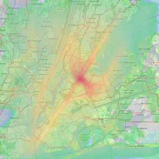
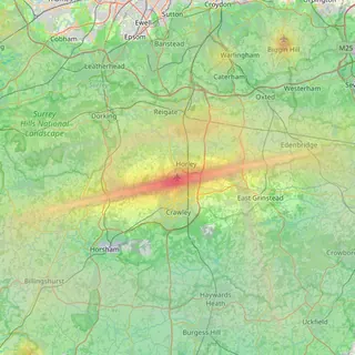
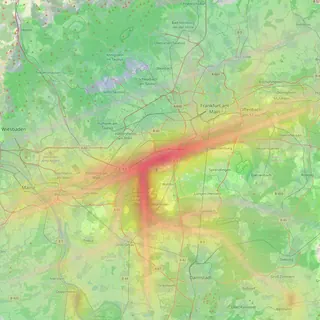
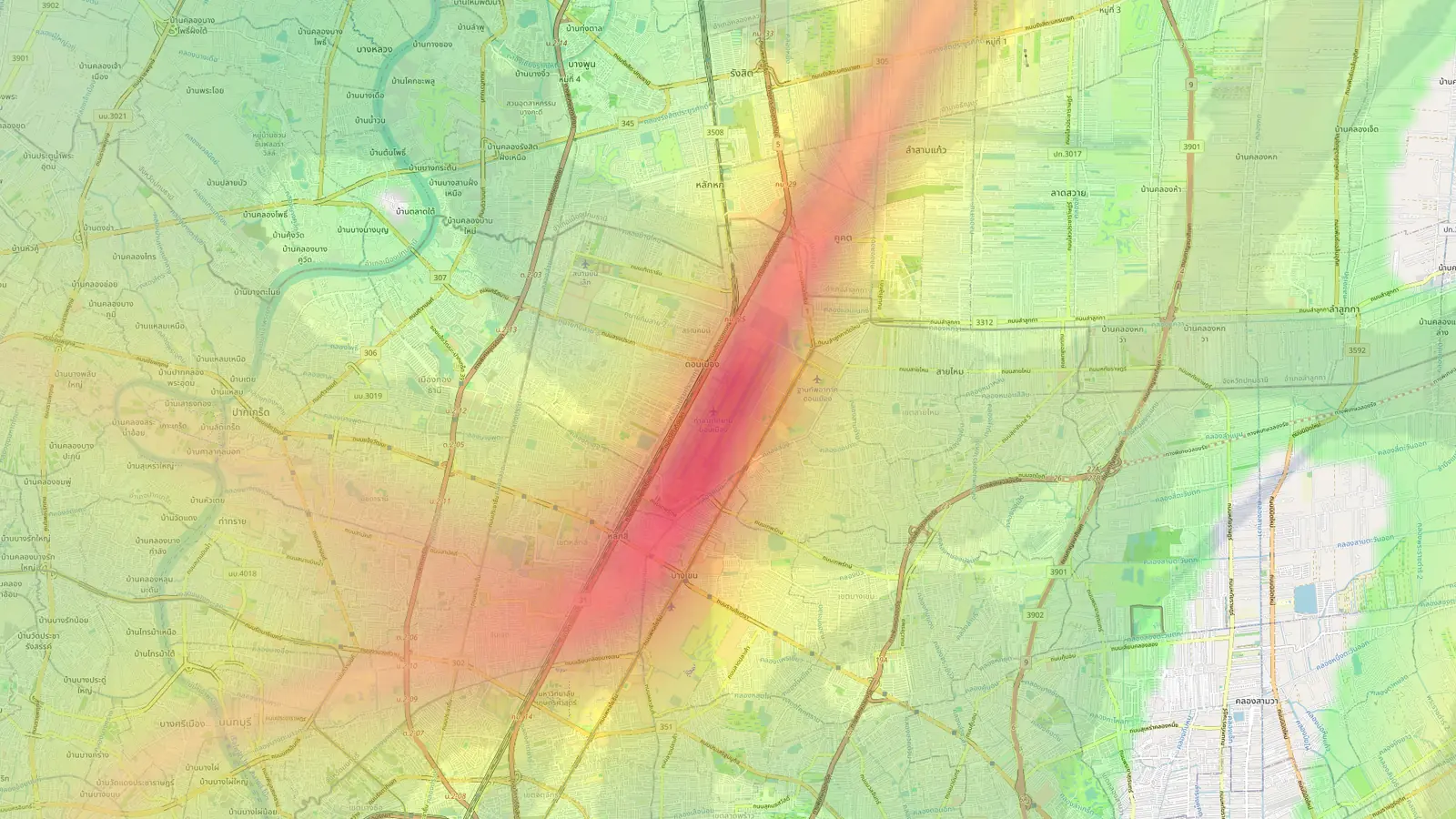
If you paste a link to an airport page into a message, email or social post, the preview now shows a card made for that airport. It has the airport’s name and country flag over its noise heatmap on a street map, trimmed to the circle our map covers. You can see at a glance which parts of the city are under the flight paths before anyone opens the link.
Cards appear once an airport has about a week of data, so the map in the preview is not empty. Until then, links show a general Flight Path Noise card.
Guides for our newest airports, and Don Mueang
The 42 airports we added earlier this week, from New York LaGuardia and London City to Auckland and Western Sydney, now have their full written guides, with neighbourhoods, runway use, quiet hours, questions and sources. Every airport we cover now has its guide except the newest one.
That newest one is Don Mueang International, Bangkok’s second airport and its main base for low-cost airlines. Our existing Bangkok page covers Suvarnabhumi, so Don Mueang has its own page at /donmueang/. It takes us to 104 airports.
Frequently asked questions
- How is the loudest area chosen?
- We take the neighbourhoods named in each airport's guide, estimate the daily average noise level at each one from the flights we have recorded, and show the highest. Places right beside the airfield are left out, so the card names somewhere people live rather than a terminal or business park.
- Why does my airport not show a departure direction?
- We only show it once we have recorded enough departing flights, so a newly added airport will show it after a few days of data.
Airports mentioned
Related updates
Flight Path Noise passes 100 airports
42 new airports across the US, Europe, Asia, Latin America, the Middle East, Africa, Australia and New Zealand take us to 103 airports in 49 countries.
Gatwick area pages, nearby airports on the map, and postcodes
Our first UK area pages cover 29 places around Gatwick, airport maps now show nearby airports, and suburb tables can be filtered by postcode.
Does your airport have a curfew? Every airport page now answers
Every airport page on Flight Path Noise now opens with a plain yes, partial or no answer on night curfews, with the hours and a short explanation.